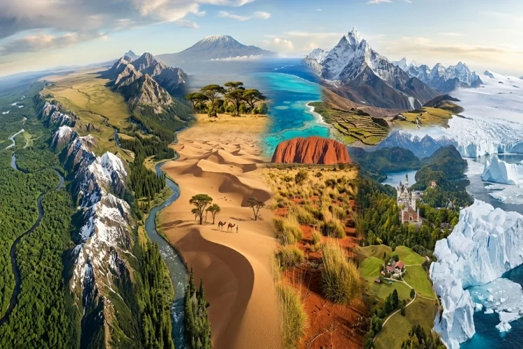
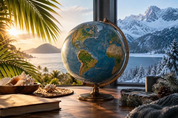
Think about Norway and Indonesia. Both are countries on the same planet, yet their climates could hardly feel more different. Indonesia is generally warm and tropical, while Norway experiences much colder winters and strong seasonal changes.
Move from a coastal city to a high mountain, and the climate can change again – even within the same country.
So, why do countries have different climates?
Climate is shaped by several geographical and atmospheric factors working together. Latitude determines how directly sunlight reaches a region.
Elevation affects temperature, oceans store and redistribute heat, mountains influence rainfall, and global wind patterns move warm and cold air around the planet.
According to NOAA, major climate controls include latitude, elevation, proximity to large bodies of water and mountains, ocean circulation, and long-term atmospheric circulation.
This means a country’s climate is rarely explained by one factor alone.
Understanding these influences helps explain everything from tropical rainforests and deserts to Mediterranean summers, snowy mountains, and surprisingly mild winters at high latitudes.
Latitude Is One of the Biggest Climate Controls
Start with a globe and look at the equator.
Countries near the equator generally receive more direct solar energy throughout the year. At higher latitudes, sunlight reaches Earth’s surface at a lower angle and spreads its energy across a larger area.
NASA explains that solar energy decreases with increasing latitude partly because Earth is spherical. On an equinox, tropical regions receive considerably more solar energy than areas near the Arctic and Antarctic Circles.
This helps explain why tropical countries such as Indonesia, Singapore, and Ecuador remain relatively warm throughout the year.
Countries much farther north or south usually experience stronger seasonal temperature differences.
Latitude also interacts with Earth’s axial tilt.
As Earth travels around the Sun, the tilt changes how much sunlight different regions receive during different seasons. Higher-latitude locations can therefore experience long summer days and very short winter days.
So while latitude does not explain everything, it provides the basic framework for global climate zones.
Altitude Can Make Tropical Places Surprisingly Cold
Latitude tells only part of the story.
Elevation can dramatically change local climate.
As air rises through the atmosphere, pressure decreases and the air expands and cools. As a general rule, higher locations are therefore colder than nearby lowlands.
NOAA identifies elevation as a major climate control and notes that temperatures generally decrease as altitude increases.
This produces some interesting situations.
A tropical country can contain both hot coastal plains and cold mountain environments.
For example, cities or communities high in the Andes can experience cool conditions despite being located relatively close to the equator. Likewise, high volcanic mountains in tropical regions can have temperatures completely different from nearby beaches.
This is why saying a country has a “tropical climate” can sometimes be an oversimplification.
Large differences in elevation can produce several climate zones inside one national border.
Oceans Keep Coastal Climates More Moderate
Water heats and cools much more slowly than land.
That simple physical difference has a huge influence on climate.
During summer, the ocean can absorb large amounts of heat without warming as rapidly as nearby land. During winter, it can release stored heat and help keep coastal areas milder.
NOAA notes that places near large bodies of water generally experience smaller temperature ranges than locations deep inside continents. Coastal regions often have cooler summers and warmer winters compared with inland areas at similar latitudes.
This is known as a maritime influence.
Continental interiors behave differently.
Land heats and cools relatively quickly, so areas far from the ocean can experience much larger seasonal swings. Summers may become very hot, while winters can become extremely cold.
This helps explain why two cities at similar latitudes can have very diferent climates simply because one is beside an ocean and the other is deep inside a continent.
Ocean Currents Move Heat Around the Planet
Being close to the ocean matters, but the temperature of that ocean water matters too.
Ocean currents move enormous amounts of heat around Earth.
Warm currents transport tropical water toward higher latitudes, while colder currents can carry cooler water toward lower latitudes.
NOAA describes global ocean circulation as an important system for redistributing heat that would otherwise be concentrated much more strongly near the equator.
The North Atlantic provides a famous example.
The Gulf Stream and the wider Atlantic circulation transport heat northward across the ocean. The Met Office explains that this movement helps keep Western Europe milder than it would otherwise be at its latitude.
Compare parts of Western Europe with regions of Canada at similar latitudes and the difference becomes easier to appreciate.
Cold currents can have the opposite effect.
They can cool coastal regions, reduce evaporation, and contribute to dry conditions in some areas.
Ocean circulation is therefore one reason climate maps do not simply form neat horizontal bands around the planet.
Mountains Can Create Wet and Dry Regions
Mountains do much more than create colder temperatures at high elevations.
They can also control where rain falls.
When moist air is pushed toward a mountain range, it is forced upward. As the air rises, it cools, and water vapor can condense into clouds and precipitation.
The side facing the incoming wind is called the windward side.
It often receives substantial rainfall.
After crossing the mountains, the air begins descending. Descending air warms and becomes relatively drier, producing what is known as a rain shadow on the leeward side.
NOAA identifies mountain barriers and prevailing winds as major controls on regional precipitation patterns.
This process can create dramatically different environments over surprisingly short distances.
One side of a mountain range might support dense forests, while the other contains dry grasslands or desert.
Political borders rarely follow climate boundaries perfectly, so a single country divided by mountains may contain several very distinct climatic regions.
Global Wind Patterns Move Heat and Moisture
The atmosphere is constantly moving.
Sunlight heats Earth unevenly, producing differences in temperature and air pressure. Combined with Earth’s rotation, these differences create large-scale atmospheric circulation patterns.
Those winds redistribute heat and moisture around the planet.
Near the equator, intense solar heating encourages warm, moist air to rise. Rising air cools and can produce frequent rainfall, contributing to the wet climates found in many tropical regions.
Around some subtropical latitudes, air tends to descend.
Descending air is generally drier, helping explain why many of the world’s major deserts occur in broad subtropical belts.
NOAA notes that global atmospheric circulation, prevailing winds, and latitude strongly influence both temperature and precipitation.
Regional wind systems can modify these patterns even further.
Monsoons Are a Good Example
Monsoon climates demonstrate how seasonal wind changes can completely transform rainfall.
Land and ocean heat at different rates. These temperature differences can create seasonal pressure patterns that reverse or strongly shift prevailing winds.
Moist ocean air may then move inland during one season, producing intense rainfall.
During another part of the year, winds may carry much drier continental air.
That is why many countries in South and Southeast Asia experience pronounced wet and dry seasons rather than four temperature-based seasons like those familiar in some temperate regions.
The Size and Shape of a Country Also Matter
Some countries are small enough that much of the territory experiences broadly similar climate influences.
Others stretch across huge distances.
Russia, Canada, China, the United States, Brazil, and Australia cover such large areas that no single climate description can accurately represent the whole country.
Different parts may lie at different latitudes, altitudes, distances from the sea, or sides of mountain ranges.
China, for example, includes deserts, high mountains, humid subtropical areas, and cold northern regions.
A long coastline can create another layer of variation.
Irregular coastlines, islands, peninsulas, and nearby seas can expose different regions to contrasting ocean currents and wind patterns.
This is why climate is better understood geographically than politically.
Nature does not change climate simply because someone crosses a national border.
Country borders are human creations, while climate patterns result from physical processes involving Earth’s surface, atmosphere, and oceans.
Why Two Places at the Same Latitude Can Feel Completely Different
One of the easiest ways to understand climate is to compare locations sharing similar latitudes.
If latitude were the only control, they should have similar climates.
They often do not.
Western Europe provides a good example because Atlantic ocean circulation helps moderate temperatures. The Met Office notes that northward heat transport in the Atlantic makes Europe milder than it would otherwise be.
Elevation can create an even stronger contrast.
Two locations near the equator may share almost exactly the same latitude, yet a high-elevation city can be much cooler than a coastal settlement.
Mountains can make one region wet and another dry.
Distance from the sea can create mild coastal temperatures while continental interiors at comparable latitudes experience far more extreme seasons.
This shows why latitude should be treated as a starting point rather than a complete answer.
Climate is created by multiple factors overlapping in different combinations.
Climate and Weather Are Not the Same Thing
Another important distinction is the difference between weather and climate.
Weather describes short-term atmospheric conditions.
A rainy afternoon, a heatwave lasting several days, or a cold front moving through a city are examples of weather.
Climate describes the longer-term pattern of conditions expected in a region.
NOAA climate classifications consider typical patterns of temperature and precipitation rather than what happens during one particular week.
A desert can experience a rainstorm without suddenly developing a wet climate.
Likewise, one unusually cold winter does not automatically mean a region’s overall climate has become cold.
Climate represents the bigger pattern.
This distinction is especially important when comparing countries because individual weather events can temporarily look very different from the usual conditions.
Climate Is Not Completely Fixed
The geographical controls discussed above are powerful, but climate is not permanently frozen in place.
Earth’s climate has changed throughout geological history.
Today, human-caused increases in greenhouse gases are warming the global climate and influencing regional temperatures, precipitation, ice, oceans, and extreme events.
That does not erase natural climate controls such as latitude or mountains.
Instead, climate change operates on top of them.
A high mountain remains higher than the surrounding lowlands, and equatorial regions still receive more direct sunlight than polar regions. But the baseline conditions within those geographic patterns can shift.
Ocean and atmospheric circulation can also vary over time.
This means the climate experienced by a country is the result of both relatively stable geographical factors and a climate system that can change over decades, centuries, and much longer periods.
So, why do countries have different climates?
The answer comes from a combination of geography and Earth’s climate system.
Latitude determines how much solar energy a region receives, altitude affects temperature, oceans moderate nearby land, currents redistribute heat, mountains reshape rainfall, and atmospheric circulation moves moisture and air around the world.
These factors rarely work independently.
They overlap to create tropical rainforests, deserts, snowy mountains, Mediterranean coastlines, temperate forests, and polar environments – even within the same country.
The next time you compare the weather in two countries, look beyond their location on a map.
Check their latitude, elevation, nearby oceans, currents, and mountains. Those geographic clues can explain a surprising amount about the climate people experience there every year.